
Geography
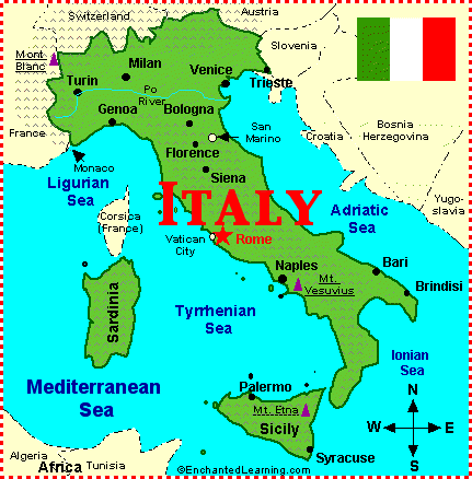
Click on the map to make it larger.
Italy is on the continent of Europe. It is located in southern Europe. Italy is easy to see on the map. Just look for the boot sticking out into the Mediterranean Sea. The island of Sicily is at the toe of the boot. The island of Sardinia is west of Italy. Sicily and Sardinia are also part of Italy.
Italy is 116,300 square miles (301,217 sq km). Italy is surrounded by water on three sides. In the south of Italy, the winters are mild. Summers are hot and dry. The north has snowy winters.
Italy is one of the most visited countries in Europe. In 2004, Italy had over 37 million visitors. Tourists love the mild climate. They also enjoy the beautiful mountains and beaches. People also love to visit its ancient buildings and its museums filled with art treasures.
Most of the land is covered by mountains and is divided into twenty regions here are eight of them.
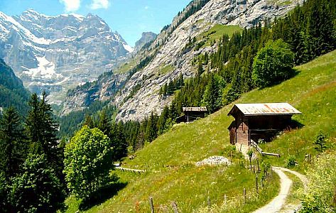
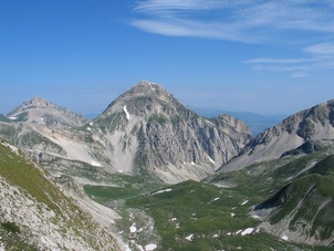
Region 1 - Alpine SlopeThe Alpine Slope is in the north of Italy.The landscape has huge mountains and very deep valleys. Forests of beech, oak, and chestnut trees grow on the lower levels of the mountain. The highest mountaintops just have rocks and glaciers. |
|
|
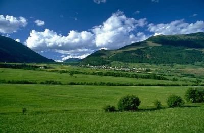
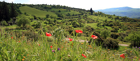
Region 2 - Po ValleyThe Po Valley is also called the North Italian Plain. It stretches between the Alps in the north and the Apennine Mountains in the south. The Po Valley is the richest and most modern agricultural region in Italy, and its land is almost totally cultivated. It is also Italy’s most densely populated region, with a lot of cities and a growing number of industrial suburban towns. Milan and Turin, in the western part of the valley, are at the centre of the most heavily industrialized part of Italy.
|
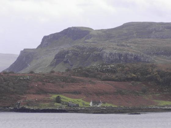
Region 3 - Adriatic PlainsThe Adriatic Plains is a small region north of the Adriatic Sea. Its eastern edge borders Slovenia. The plain’s eastern half is known as the Carso. It is a limestone plateau and is not good for farming.
|
|
|
Region 4 - ApenninesThe Apennines stretches almost the entire length of Italy. The lower mountain levels are covered with oak forests, which have been cleared in many places to allow farming. The middle levels show beech and conifer forests. The highest slopes have only wooded scrubland. The Arno and Tober rivers flow from the Apennines to the Tyrrhenian Sea. The northern Apennines have some of the largest forests in the country and lots of pastureland. The central part of the range has productive farmland and grazing. The southern Apennines include the poorest part of Italy from Molise to Calabria. This area has plateaus and high mountains.
|
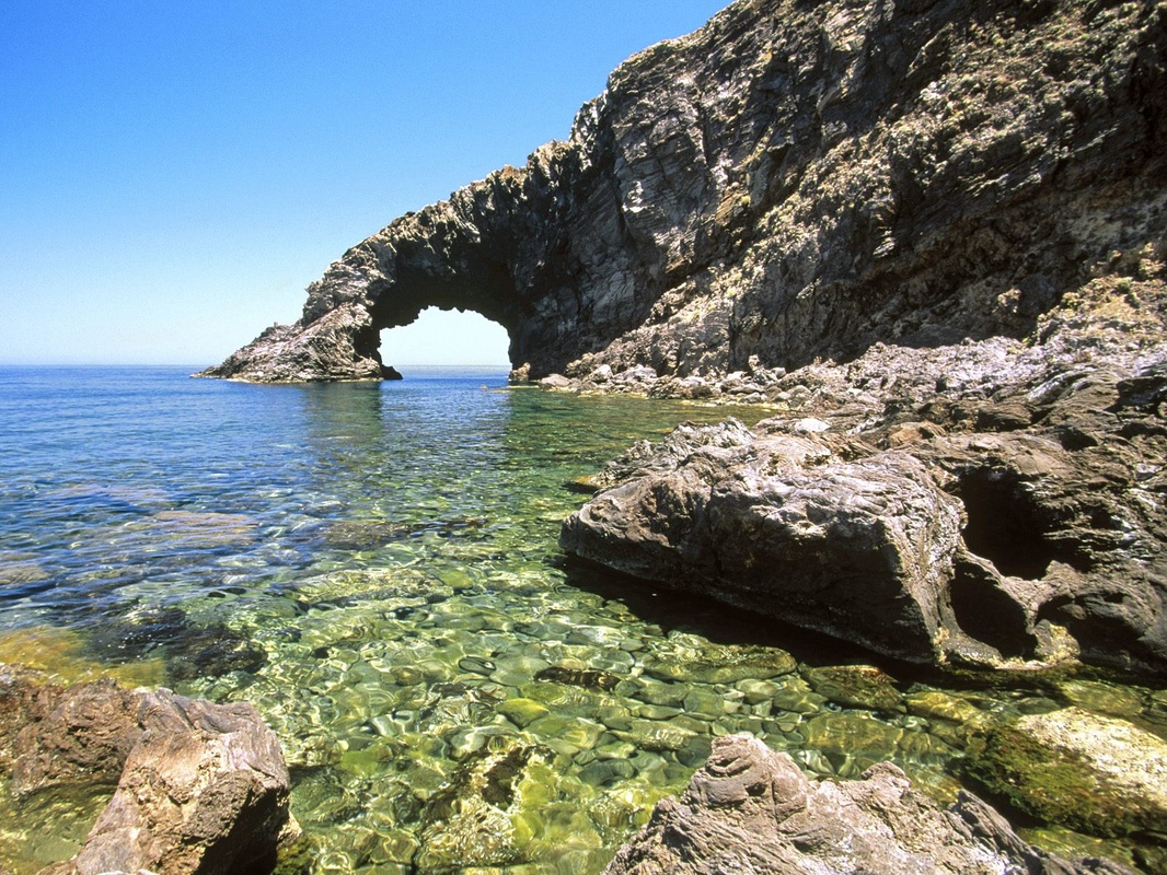
Region 5 - Apulia and South eastern plainsThe Apulia and the south eastern plains is located in the heel of the boot. This region has a lot of plateaus that end as cliffs at the Mediterranean Sea. It has a lot of farming room. Fishing is important along the coast of Italy.
|
|
|
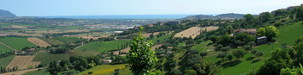
Region 6 - Western Uplands and PlainsThe Western Uplands and Plains stretches along the Tyrrhenian Sea from La Spezia, southward past Naples to Salerno. It is a rich agricultural region. The Western Uplands is second only to the Po Valley in agricultural production. The northern portion of the region includes the rich hill country of Tuscany and Umbria. This area is known especially for its grain crops. The southern half of the western uplands and plains include the cities of Rome and Naples. The plain along the coast have a big population. In the warm climate of the coastal plain, farmers grow lemons, peaches, and vegetables.
|
Region 7 - SicilySicily is the largest island in the Mediterranean Sea. It is separated from mainland Italy by the strait of Messina. The island has mountains and plains. Mount Etna, one of the largest active volcanoes in the world, destroys the landscape of north eastern Sicily.
|
|
|
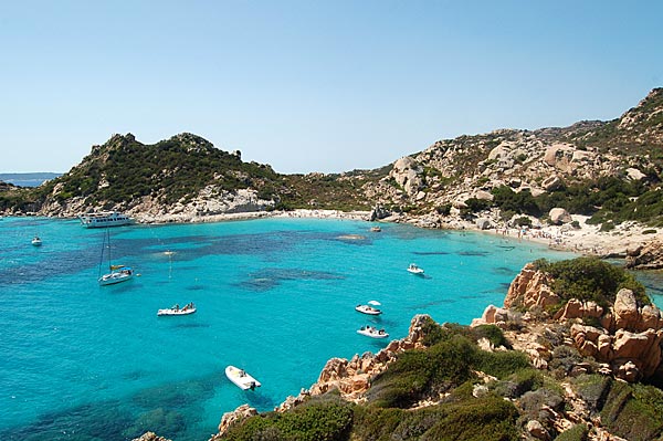
Region 8 - SardiniaSardinia is an island to the west of the Italian peninsula in the Tyrrhenian Sea. The only good farmland is in the low-lying coastal plains, where cereals, artichokes, and grapes are grown. The heaviest population areas of Sardinia are along these plains.
|
